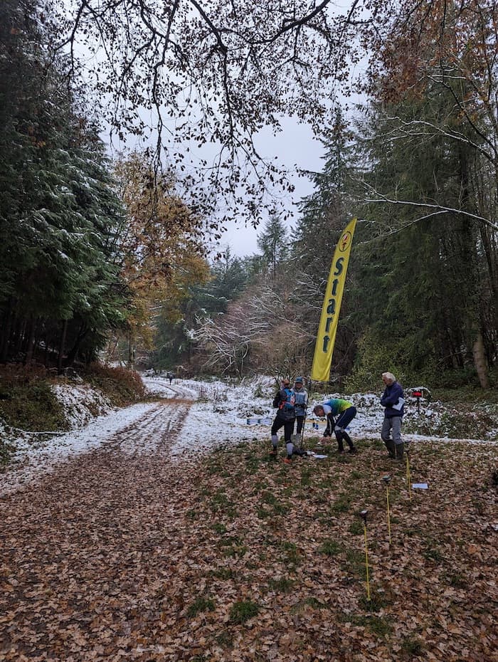
Excellent day out in one of my favourite orienteering areas. Yes it was cold, but great to be in snow. So glad we were able to go ahead - had it been the day before we would have had to cancel due to road conditions. We had a fair number of no-shows which must be due to the weather. I realise we could have sent out a message to confirm the event was going ahead - lesson learnt for the future.
Many thanks to our planners, Simon & Miffy, for many days on-site updating the map as well as planning eight different courses for us, and to the others who helped in advance. Thanks to the helper team too for doing the jobs on the day cheerfully, and well done everyone for coming. Great to have lots from other clubs visiting. See you again soon.
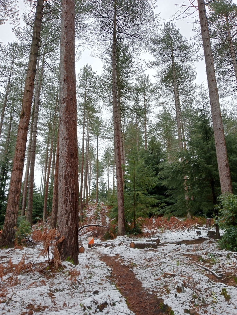
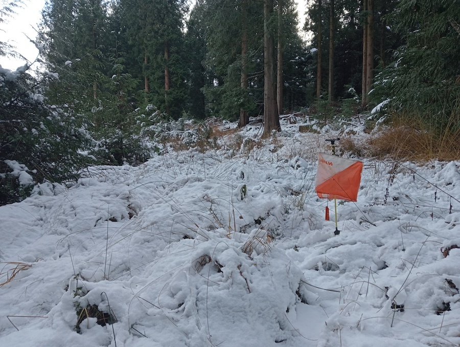
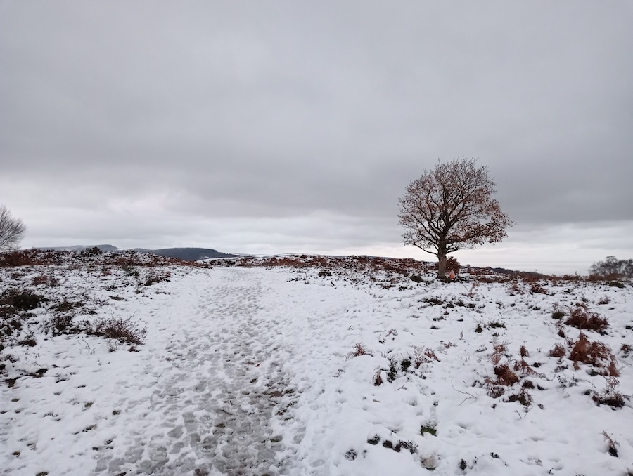
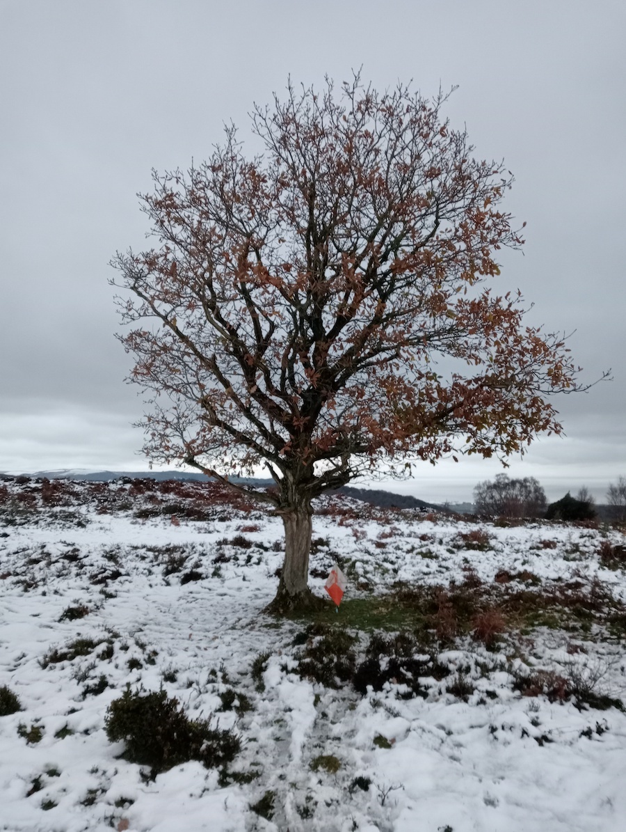
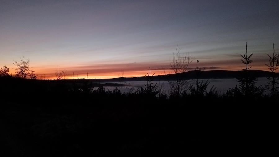
Thanks to everyone for a great experience. Especially those who had to put out-collect in the snow. And some cunning site placement- route options. In my case my ŕun’ was a very slow walk- but I didn’t want the physicality of a tough Green to beat me- 'tho. I had real trouble getting my old bones to #7 and found it hard to read the map details near #3. An odd combination of conditions- often dry under the pine trees which held the snow on their branches and then allowed it to melt, easily walkable snow on the open rides. Deer footprints everywhere. And I love the views from the hill forts toward the North.
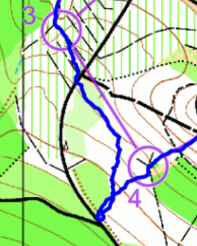
@simonslh and @Miffy are in my good books for a nice gentle control 1 - I am sure the direct route was quicker but I was happy to stick on the paths to get my eye in. Control 4 was my big mistake - I got pulled off bearing by other orienteers and wasted 4 minutes relocating.
Another minute was wasted pre-empting the vegetation control 5 was supposed to be behind (pace counting Phil!!) but I was really happy with my route to 6 - cutting up to the road and following the paths to the control.
I could have chosen the more direct route out of 8 (as demonstrated by @AndyRey who jumped me after my scenic route) but it was lovely getting out on the open hill (and snow!)
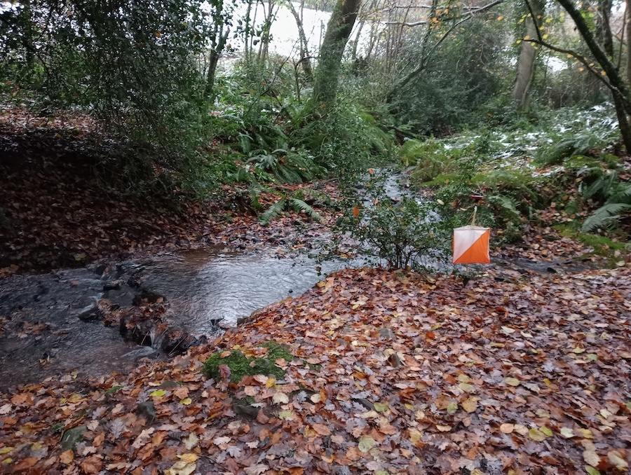
I was caught out slightly by 11 (not as bad as others mind!) - the open area seemed much bigger in reality and I spent a few minutes not going far enough before @AndyRey jumped me again (and I realised the stream was pretty obvious).
More snow covered hill tops and a final climb before. A year or so ago I actually did a family walk with an old map of Croydon Hill and control 17 (next to a forest ant nest) was a practice location. I took the short cut route to the penultimate control with the steep run down the hill which gained me some time.
A lovely day out in the snow (although it was nice to have a hot bath afterwards!)
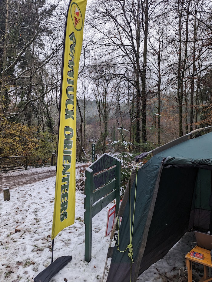
Thanks to Simon and Miffy, @RichardS for organising and the other volunteers.
Croydon Hill is a super area but has some challenges for planning. The best bits are up steep hills, access in and out of the deer park is limited and routes along either side of the main river offer few enticing control options.
The undergrowth had changed significantly since the previous map updates. Many rough open areas had become grotty and often impassable. The benign autumn climate meant any dieback was delayed. Potential control sites became unattractive and we had to use locations which some might regard as ‘too easy’ for longer courses. We didn’t hear anyone complaining about this
Control 118 in the campfire was a good example; the area south of it was solid fight all summer and autumn; ironically an extraction lane SE of the control emerged when the snowfall crushed the undergrowth on the day before the event. Sadly climate change may mean we must get used to this in future …
A series of fallen trees (one very recently) impacted the White and Yellow courses but the only child on White thought climbing through or round them was great fun. We couldn’t remove the trees but we did cut substantial amounts of gorse and bramble across paths on White and Yellow. We have the scars to prove it!
We had planned to print all courses at 1:7,500 for map clarity but eventually went with 10,000 on the Brown, Blue and Green courses.
The snow added to the occasion and most seemed to appreciate the added beauty and challenge on their courses. The views from the fort and the hill in the north east were spectacular.
We spent much longer surveying than expected. Even with help from Robin Fieldhouse, we ran short of time as the event approached. We made essential updates but did not spend much time on areas unlikely to be visited on our courses (except if seriously off route!). We regret that the area around 138 was a little ‘subjective’. That area in particular needs a thorough survey before the next event.
The climbs were inevitably rather larger than we wanted and course times were all a bit longer than ideal but people seemed happy.
Many thanks to our resilient control collectors: Graham Hartley, Jeff Pakes, Olly Rant, Pete Shirvington, Ray & Sue Toomer who climbed all those hills yet again as the light started to fade. We retrieved the last control at 4.15 in near darkness.
Thanks also to Roger & Judy, Robin Fieldhouse, Andrew Hopkins, Andy Rimes, Richard Sansbury and Bill Vigar for all their help.
Our dog Louka is now enjoying a well-deserved rest – we reckon he ran over 300k in total over all our visits. He’s building up his energy for next time