Previous day: Portugal O Meeting 2023 - Day 1 (Middle)
It was another long walk to the start on a duller (but still warm) day for the first of two long events.

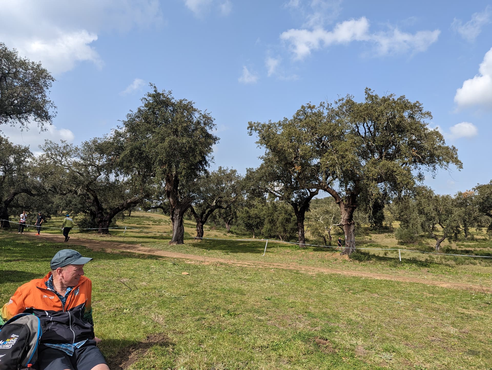
For us M45 it was a 9.7km course with 280m of climb. The terrain was again very detailed contours covered in scattered trees and plenty of rock formations, boulders etc. It was very runnable.
I choose the direct line to 1 - which was well implemented until I swung too the right at the last moment. 2 was ok, but I came in too low to 3.
The first long leg to 4, at first glance could be complicated, but once you note the crossing points on the fences (which are marked with bright white tape), it becomes much simpler.
I met @Pete, who started 4 minutes ahead at control 7, and we managed to distract each other at control 8. Whilst he flew off to 9, I was briefly delayed helping an orienteer who was wedged in some barbwire. He was still ahead from 9, but I overshot, lost my position (and sight of anyone else) and lost a lot of time sorting myself out.
Looking at my splits, I definitely slowed for the rest of the course. I choose to go via a water station to 12 which helped, but the rest of the course was slow and safe. Pete cheered me over the line having recovered his lost 4 minutes and another 3 or 4 minutes taking the ‘win’. Overall we came 23rd and 33rd out of 71 finishers.
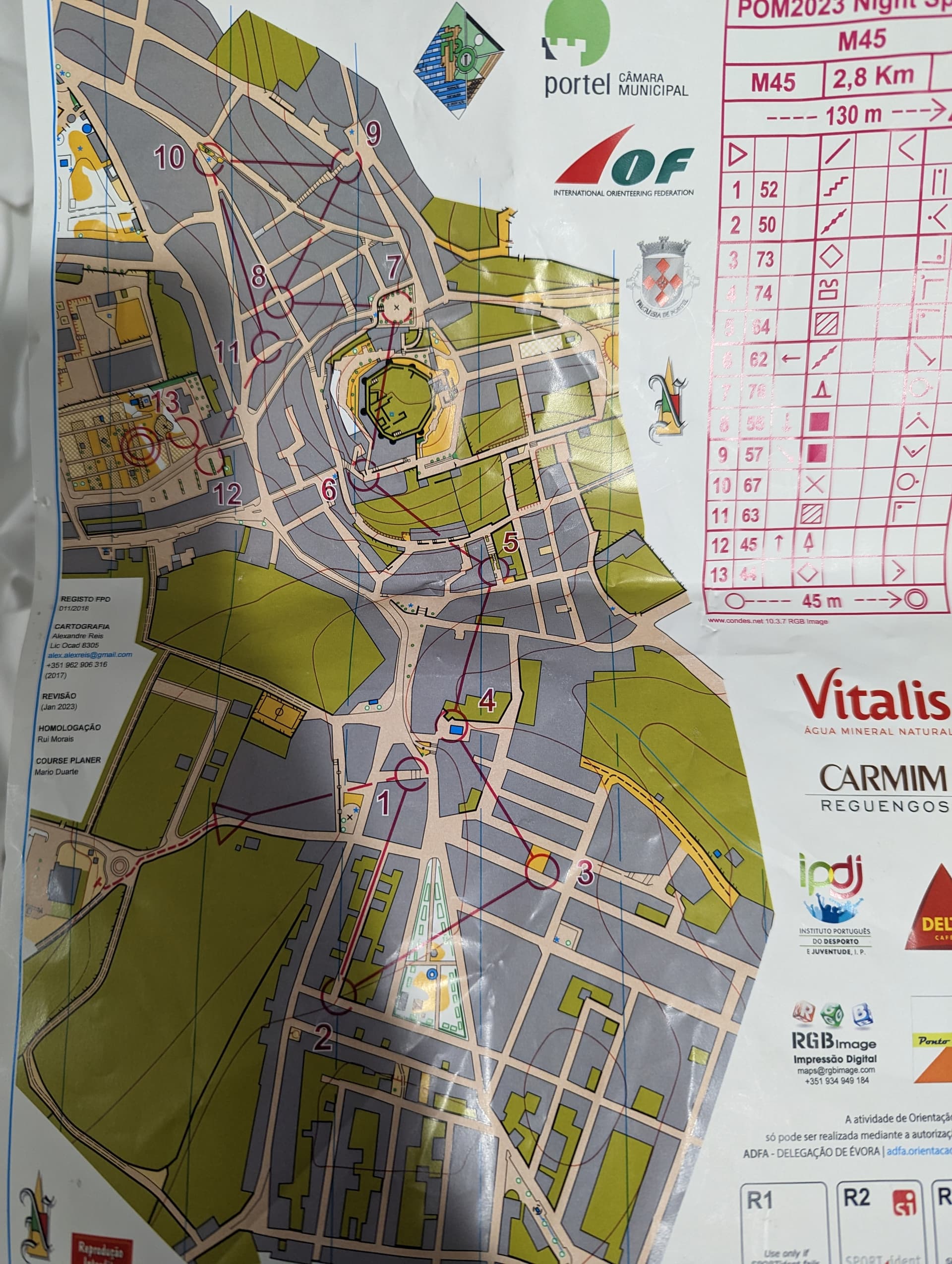
Night Sprint
Just what you need after 2 races in two days, and immediately after a 12km run is a night sprint up a hill…
The sprint was in Portel - where we were staying. The town is dominated by a castle on top of a hill and, unsurprisingly, the sprint made good use of the steps and alleys around the hillside.

It was fast and frantic - route choices were obvious, so it was all about executing your route at speed. I made a few minor errors which, with a winning time of 12 minutes, put me down in 23rd out of 40 (Pete beat me by 44 seconds).
With very tired legs, it was time for bed!