Topic created- content soon
Some background info ( for those that may not know)
Madeira is the main island of a small Portuguese volcanic archipelago off the North west coast of Africa- it has a semi-tropical climate creating a lush verdant terrain reknowned for exotic flora, including tropical rainforests, flowers and fruits. Being the remains of a once huge volcano that rises 6km from the Atlantic seabed, the island is entirely mountainous with huge cliffs dropping vertically into deep water and very little therefore in the way of sandy beaches and associated attractions- despite that tourism is the main source of income for the islands, many coming to enjoy the raw beauty of the countryside in particular for walking but also for water sports ( diving, sailing etc) and adrenalin fuelled alternatives such as canyoning and ultra long distance mountain running.
This is the seventh Madeiran O Festival and is still a small friendly event ( entries this year totalled about 400) despite day3 being a world ranking event. There are three days total: day1, a night sprint on a ( world famous I’m told) golf course, followed by two middles, one forest and the last on an open rocky volcanic area with very little vegetation.
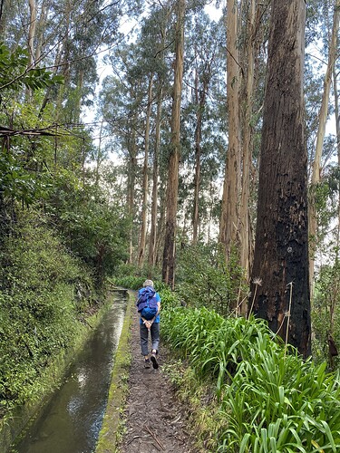
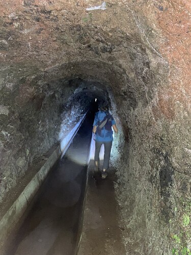
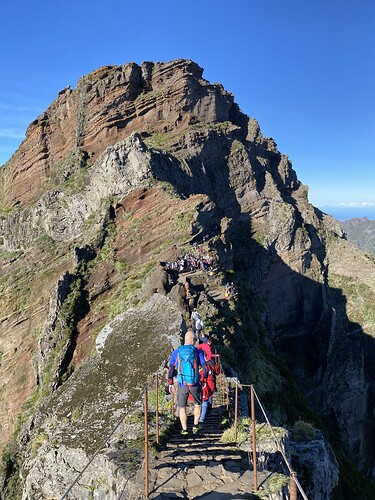
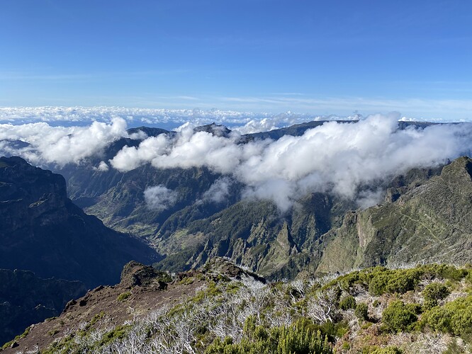
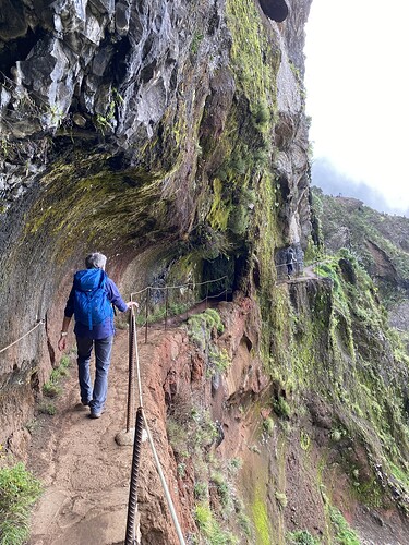
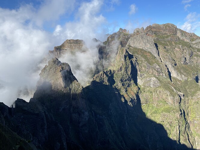
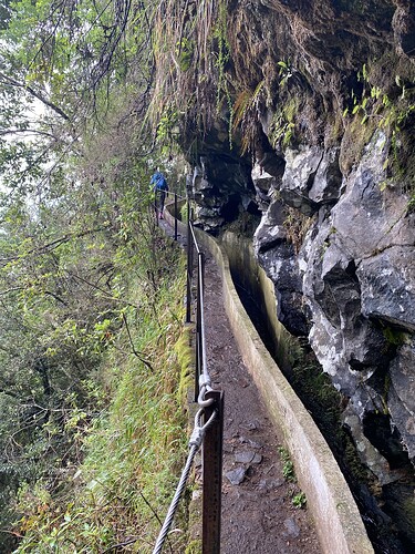
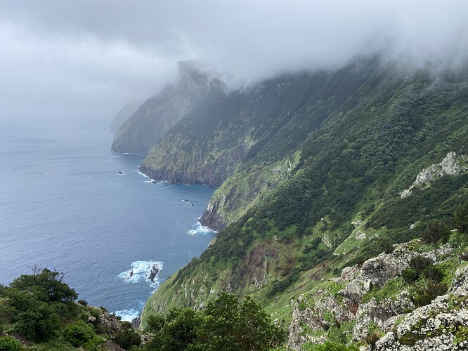
We arrived last Monday and have spent the first few days enjoying some excellent walking both mountain and coastal in mixed weather ( remember this is a tropical island so rain and thick cloud at any level is quite the norm at this time of year- these facts become quite relevant in the write ups to follow….) Particularly memorable was what is probably the island’s most famous trek, up to the summit of Pico Ruivo, the highest point along a beautifully built path system with tunnels, dizzying vertiginous drops and steps ( hundreds and hundreds of them- up and down as it’s an out and back route since a landslide forced the closure of what was originally a circular route
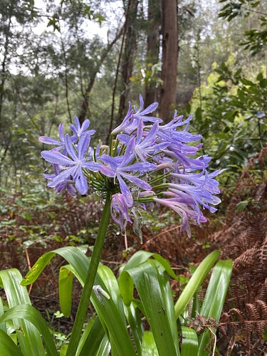
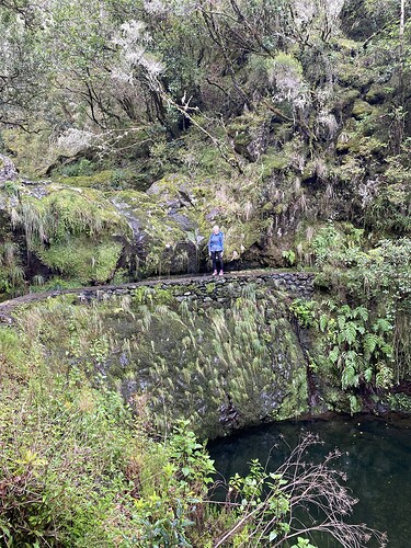
Some pictures of some of the walking for interest:
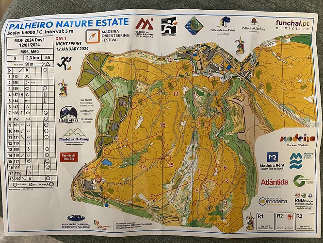
Day1 night event- Palheiro golf course
Our first apartment was in the village of Monte sitting at about 800m above Funchal the capital- at this height on a couple of occasions we woke to be totally enveloped in localised very wet cloud and fog whereas Funchal down on the coast below us would be dry and sunny and the mountains above the cloud line again clear and in bright sun- it was and is a matter of luck….
… and of course on the night of the first event having returned from an all day coastpath walk on the north coast in fairly mixed weather, but with good visibility all day we were met with a thick blanket of dense cloud at home which only got worse as darkness came- it really was appalling driving extremely carefully to the venue which we knew was virtually at the same height as our apartment. The steep narrow and winding Madeiran roads are not easy to drive on in clear daylight- driving in these conditions was really awful- what we would find at the orienteering was anyone’s guess…
So we got there, and unfortunately it wasn’t cancelled so we had to actually navigate in the conditions in the pitch dark of an unlit golf course. Despite the fog it was really warm and only o tops were required although one got very damp by the moisture of the fog- having dressed and sorted out gear and headlights we stumbled our way in the darkness to the remote start( a brightly lit oasis of light, shining like a beacon in the murky gloom)
Once you started and moved away from the start area, it was immediately apparent that the best torch in the world would struggle to illuminate anything further than a 2m distance in front of you so accurate compass work and map interpretation were paramount- being a sprint meant there were controls literally everywhere and you had to be strictly disciplined to avoid being carried off your intended course by other pools of light off to your side where others were searching on their courses. Of course I made the inevitable couple of mistakes requiring some desperate relocating but mostly did ok once I got my head into it and remembered the distances were very short on a 4000 scale map (which by the way was excellent quality and clarity)
Interesting to hear your adventures. If we hadn’t just been there in Dec for the urban Euro City Race Tour, we’d have been tempted by this.
Day2…… all change
The second stage was planned from Poiso high up in the central mountains and entirely in the forest- however at the golf club after the night event while people were socialising before departing, the organisation made the sad declaration that due to the storm warning for the following 24hours the authorities ( whoever they are) had decreed it too dangerous for the event and the forest was effectively closed so no event….
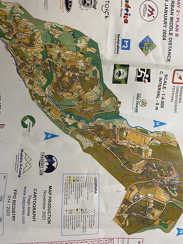
……however 20 mins later another announcement was made ( in English as well as Portuegese thankfully) that an alternative urban replacement event would be planned and organised, overnight, with the original format and details as original but start times deferred by 4 hours! The venue was a small village, Boa Ventura on the central north coast some way from Poiso but accessible for us on good roads through ( ie under- tunnels are ubiquitous here obviously) the central mountains. We did look at the village on google maps when we got back and admit were not too impressed on initial inspection- small and only a few streets- probably the best they could do in the very short time available.
However on reflection we now think this was always there as a contingency as overnight, high quality maps and courses were ‘produced’ and printed ( albeit Rosie’s course’s loose CDs were all one number out- mine were fine
A fleet of shuttle minibuses were used at -20mins callup to take competitors higher up to the start at the top of the village- the finish was at the event centre based in the main village square
The storm warning was not a hollow one, and the weather all day all over the island was truly biblical with giant stair-rods of warm rain falling continuously. Great rivers of water were running down every path and road making everywhere very slippery, and the finish area was full of miserable soggy competitors reluctant to leave the shelters and cafe frontages offering some respite. To say we weren’t altogether raring to do this was an understatement but at the appointed hour( just in O tops which were immediately soaked through but remained warm throughout) we took our place on the bus up to the start area….
…. And to say we underestimated the venue is an understatement in the extreme- the fantastic map showed a wealth of tiny concreted micro paths interlinking the village properties with multiple complex stairways, alleys and some off-road paths through gardens and other cultivated areas- the rain added to the fun trying to decipher the optimum routes through the warren of options.
All in all an excellent “fallback” event …. And I didn’t do too bad- 5th in M60. R struggled a bit with the fine detail on the map and the conditions but came in smiling and enjoyed the run.
The last event here in November used the football ground shown, mid- way through the courses to include a maze section for all to add to the fun- fortunately not for us this time
Great write up. Only just seen this so commenting a bit late. We went to Madeira in the summer a few years ago so recognise the type of paths in the pictures. Shame about the poor weather affecting the O.
