After a day wandering across the Quantocks checking potential control sites for my first non-JOG event, I am still struggling to get my head around the best way of marking a control site for the controller.
I get in a lot of locations you can use nearby trees / bushes (I want to try and avoid plastic - so I am going to do some tests at home to see how strong paper parcel tape will survive the elements) but how about if the control is in the open, for example for a cairn on the open moor. What is the best approach to avoid it being eaten by an animal? Any guidance would be really appreciated!
Usual method is small stick pushed into ground to hold the tape. Maybe provide a GPS reading to the planner as back up. Electrician’s tape is great because comes in different colours, durable, usually animals aren’t tempted to eat it and can be reasonably visible to competitors in rare cases where the control gets taken or vandalised. The environmental bit is covered if control collectors understand retrieving the tapes is part of the job.
One method is to use the electrician tape wrapped round a small stone – useful on somewhere like the Quantocks where there are plenty of stones.
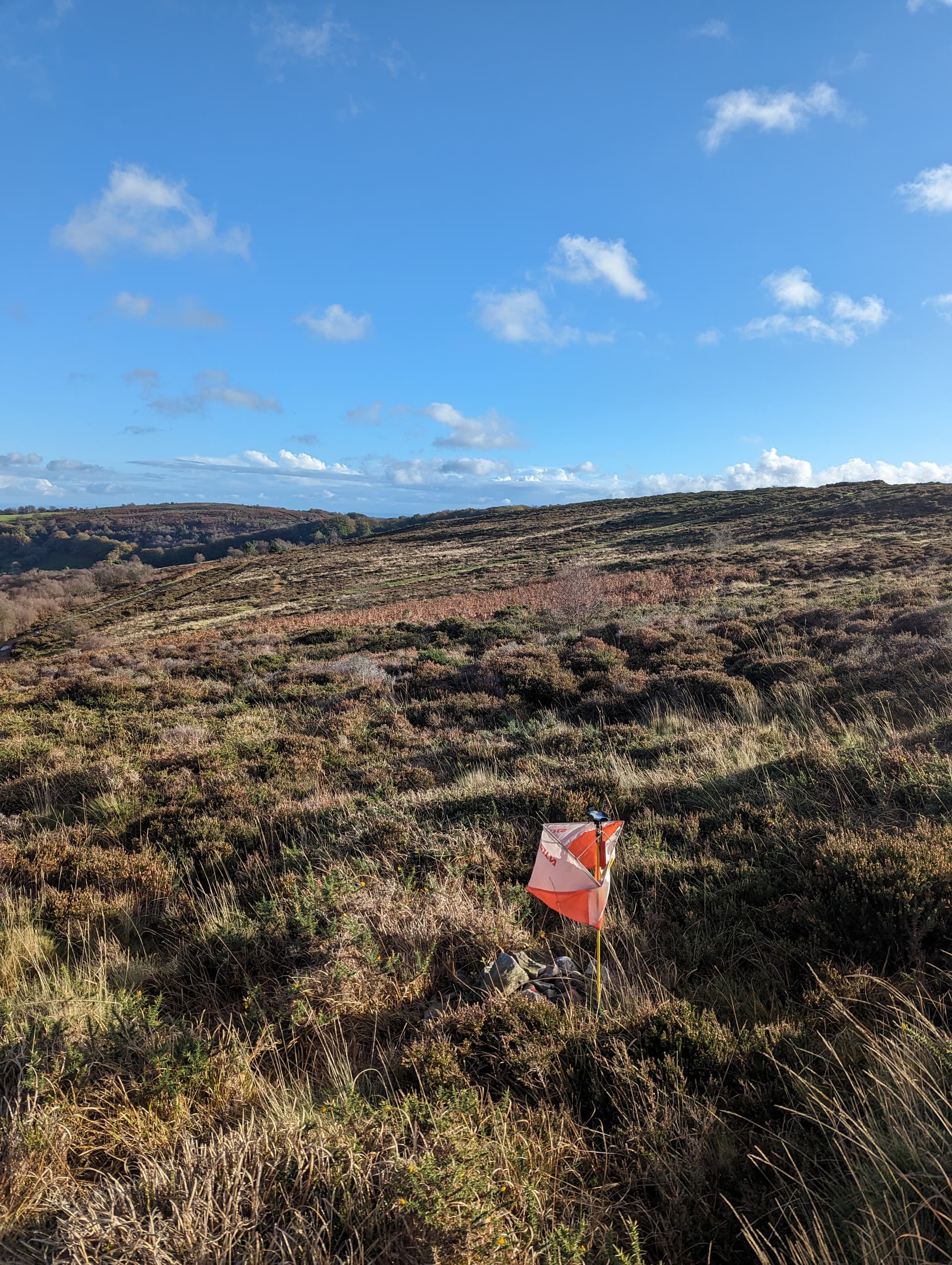
Method used by KERNO is a small orange flag attached to a small thin metal stake. I have always thought they would be prone to be removed by ‘sticky fingers’ but they don’t seem to walk very often.
Maybe questionable but I did use for one event is a modern GPS device with accuracy to about ± 2 m and gave the controller a GPX file(or OCAD SKETCH file).
On animals – some will eat the tape. At an event I controlled at Hayle the rabbits took great pleasure in eating about 90% of the tapes that the planner had attached to the marram grass.
Yep- insulating tape generally works best- make sure you use a sharpie or equivalent to write with
Blue or red colours stand out best
I remember some years back controlling a devon event at Woodbury where Ben Chesters was the planner- he told me the sites were all marked ready for checking the next day and that he’d used white tape to stand out better……… it snowed overnight…
I will certainly be taking GPS positions - perhaps making it into a check sites maprun file, but otherwise a mixture of trees, rocks and stakes should do the trick depending on the control site (I suspect that stakes look more official and so will be less likely to disappear).
The next issue I have is a long gap between marking control sites and the event due to Christmas and controller availability, but I suppose I can just go out and refresh everything nearer the event.